
This is offered as an easier route than Hike 35 in Lost Fire Lookout Hikes and Histories: Olympic Peninsula and Willapa Hills. It is still a short, low elevation, year round hike.
Drive to the junction of the Mason˗Benson Road and East Trails Road. Turn right on East Trails Road and drive almost one mile to a gated gravel road on the right. Park near Green Diamond gate number 2385.
Start your hike up the moderately sloped road beside Sherwood Creek. Trees have been retained close to the creek to protect water quality, offering a healthy mixed forest of cedars, hemlock, and fir on the left side of the hiking route. Keep left at the first Y, continuing to parallel the creek, which burbles audibly in winter and spring. Enjoy occasional views of the water, flowing broadly between thick grassy banks.
The road curves to the right (east southeast) at about 0.6 mile, tracing the water course that has gained a swampy patch featuring swamp lanterns (also known as skunk cabbage), before disappearing into dense forest.
At 0.8 mile the hike route turns southwest, away from the creek. After another quarter mile, take a grassy branch road to the right, continuing the moderate ascent through the tree farm. At 1.33 miles, this road ends at a logging landing on the top of a 260-foot-tall hill. Fortunately, the route’s continuation is visible a few hundred yards away, on the next small hill to the southwest. This short section of the road was half-heartedly covered with logging debris after the last harvest here, around 2018. Step over the small downed limbs, and continue your hike. Descending from the second hillock, a crossroad appears in a few hundred yards. When you reach it at 1.7 miles, turn right.
The original route turns left at the next junction, crosses a culvert, then climbs the next ridge on an old jeep track through evergreen huckleberry bushes and young fir trees. Instead, this alternate route continues on the narrow road headed north northeast for another quarter mile, then turns left at the next road junction, to hike southwest between conifers planted in the 21st century. This road’s border includes alder, manzanita, and scotch broom among its young fir trees.
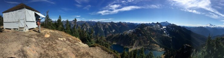
After traveling about 0.4 mile to the southwest, turn left uphill on a narrow but drivable track. Hike a short distance to the viewpoint at the end of the road. No artifacts of the old fire lookout building have been found here, but the high point of this area is beside the ridge-climbing road, at 362 feet elevation. The high point’s coordinates are 47.3473°, ˗122.9145°. The best views are found here too. The view east offers a grand panorama of Mount Rainier and the Cascades. The western horizon features Mounts Elinor and Washington’s snowy peaks, among the Olympics’ rocky skyline.
When satisfied, descend the narrow road and turn right to complete the loop. Bypass a lesser road headed west on the left, but take the next left turn at a T. In another 0.1 mile, turn left again on the road that runs beside Sherwood Creek. You have completed the loop; the trailhead is just 0.15 mile ahead.
